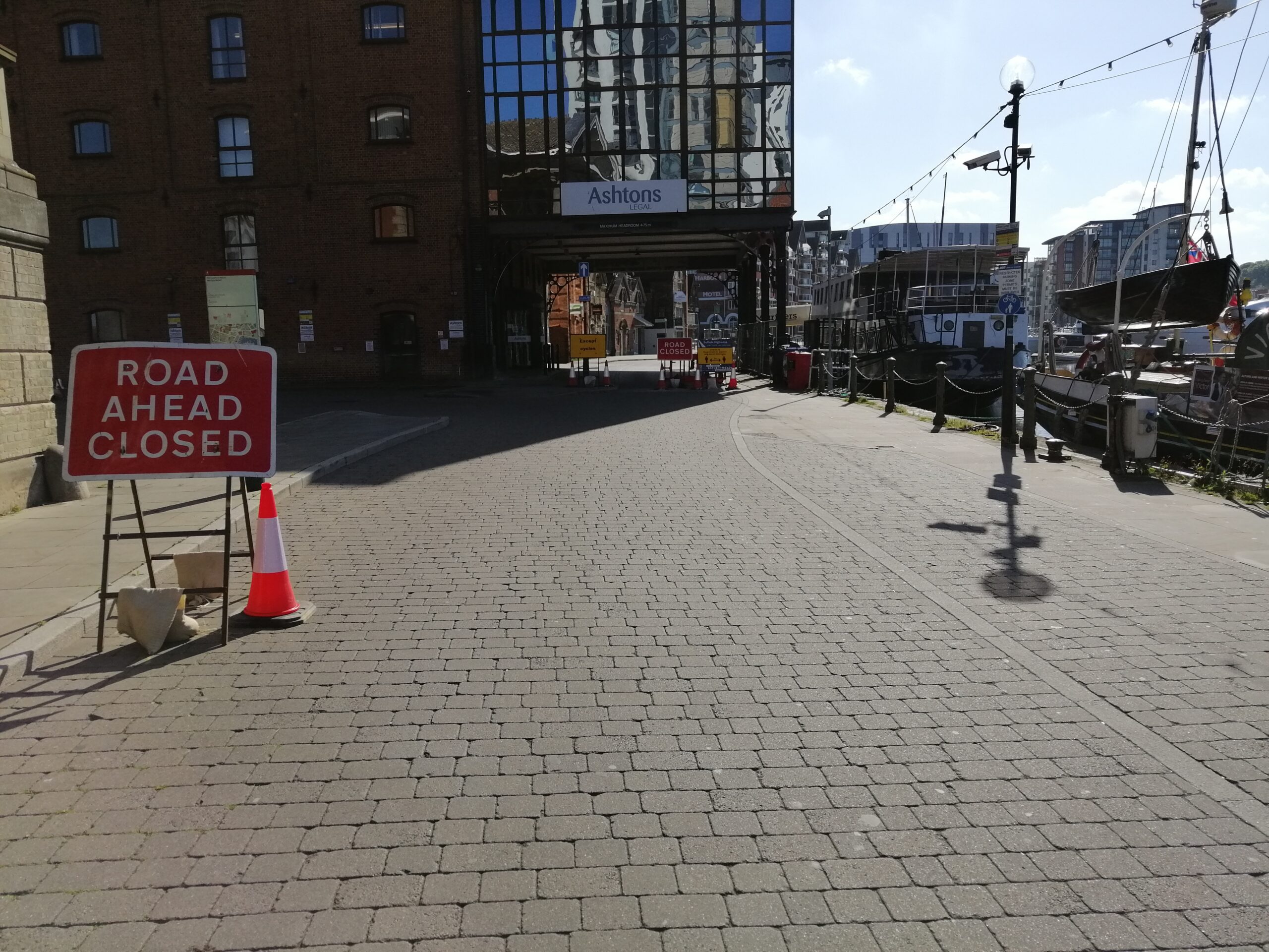
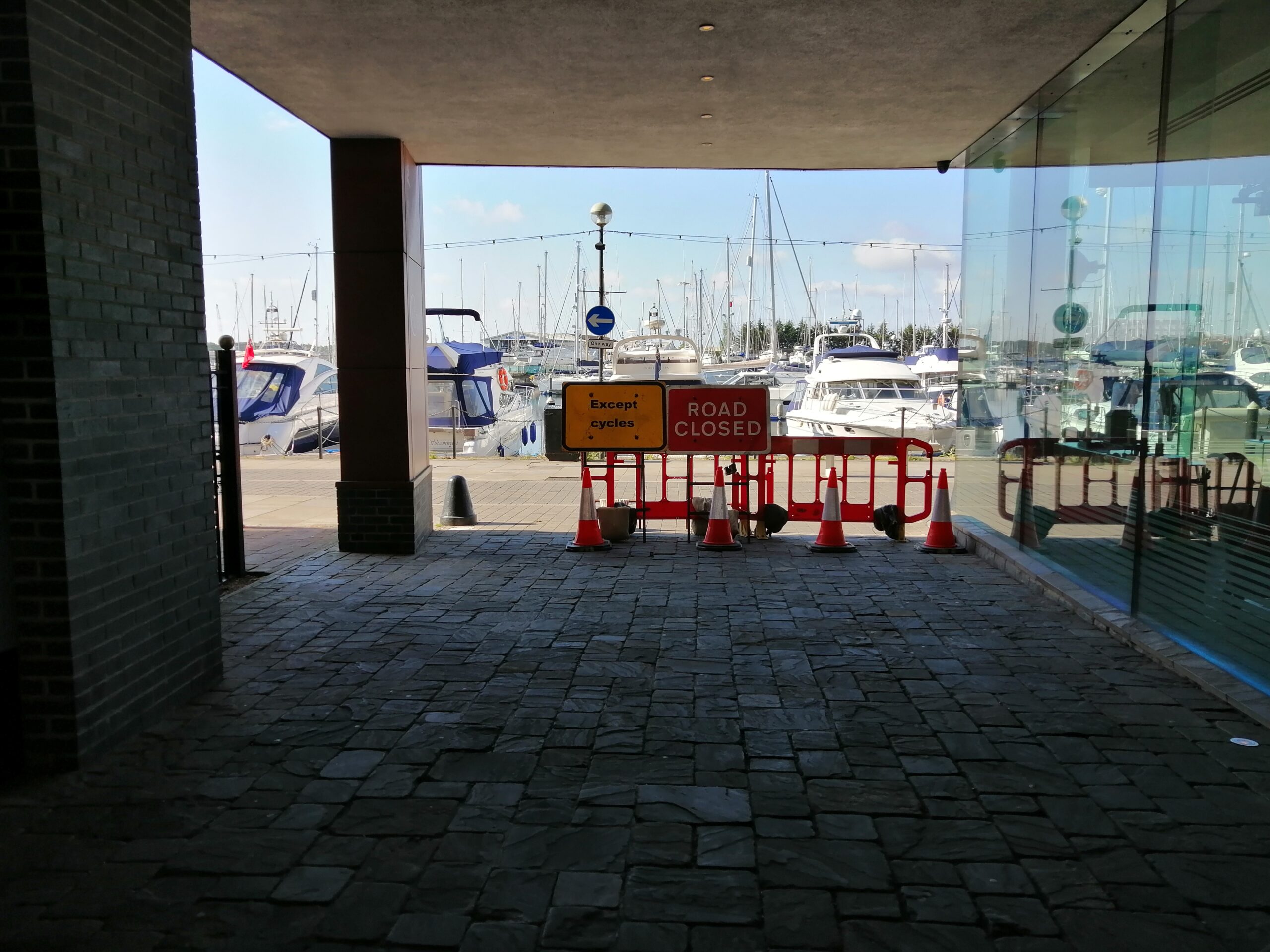
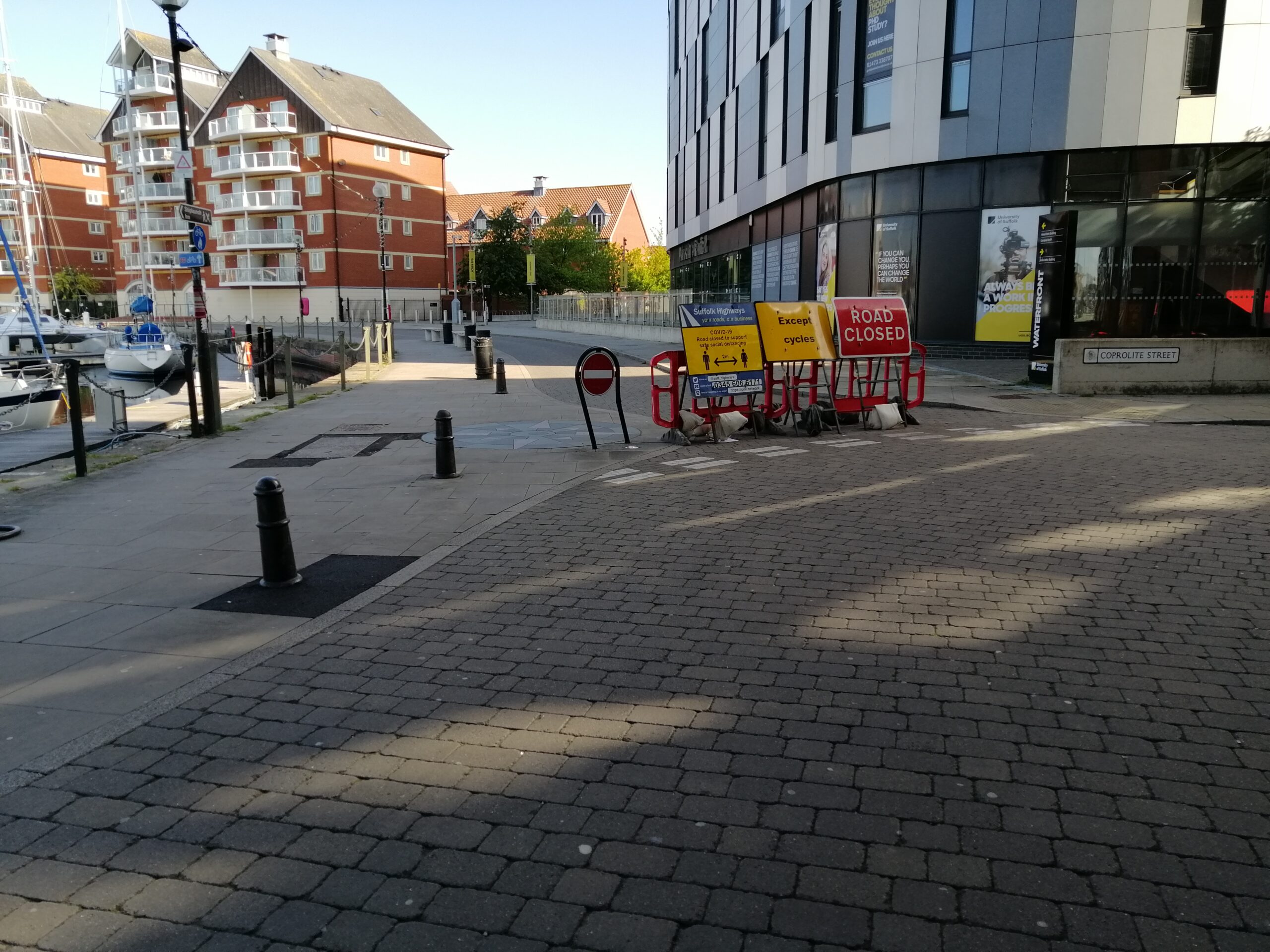
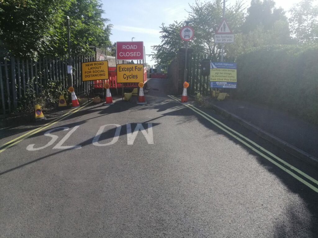
Suffolk County Council are continuing their cycling and walking improvements, as part of the transport recovery plan 2020.
Over the past 2 nights cycle lanes have repainted on Princes Street, with wands installed to make a safer space for people cycle, particularly for people who don’t currently cycle or only cycle a little, and would like to cycle more if they had a space where they felt safe to do so.
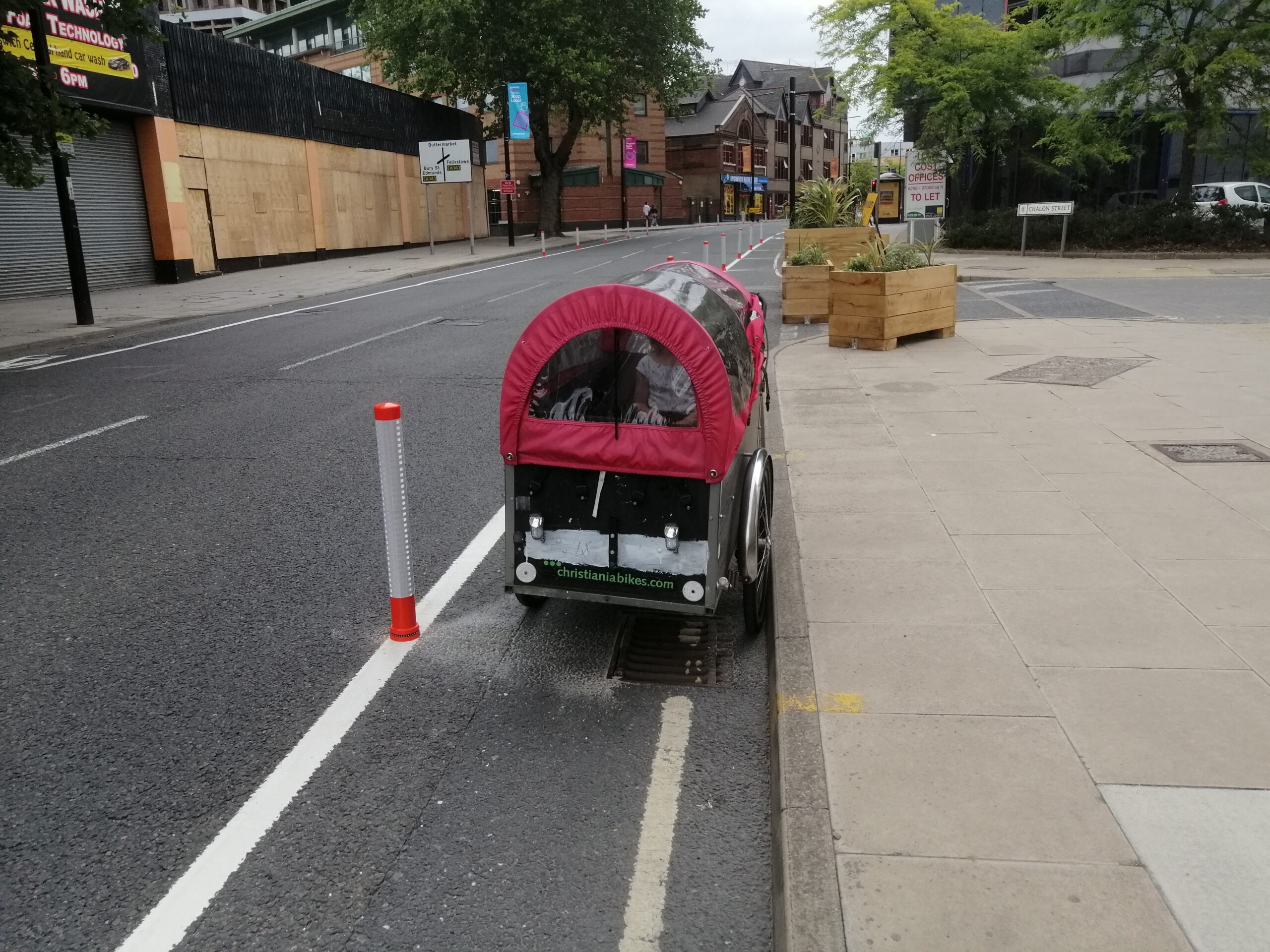
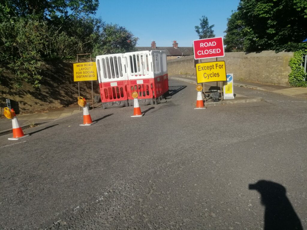
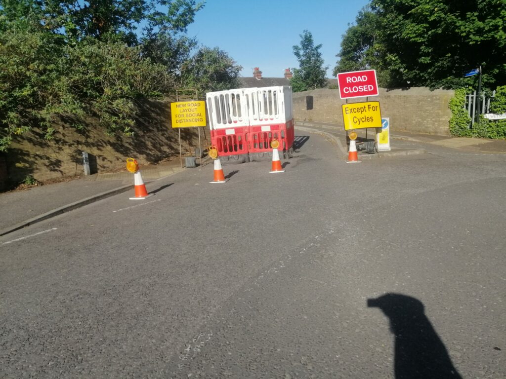
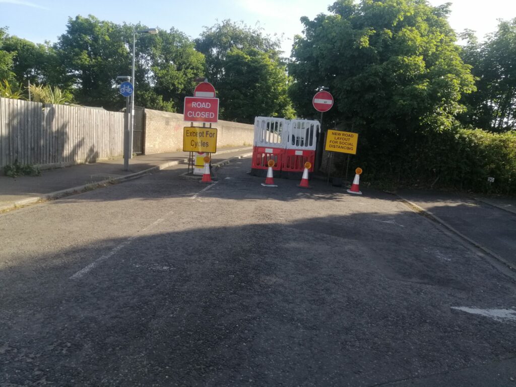
Modal filter at Chalon Street and new cycle lane wands on Princes Street 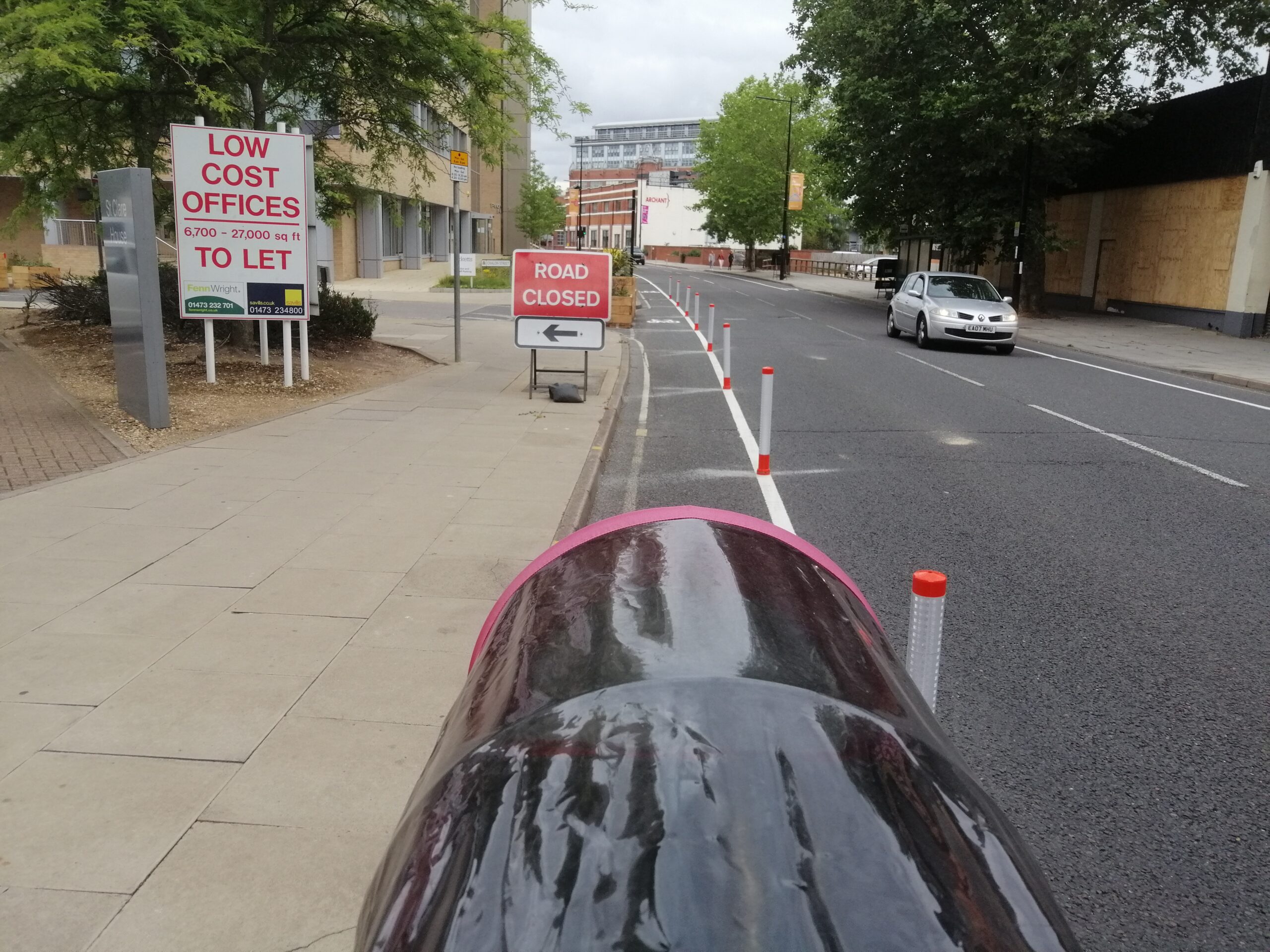
Cycle lane wands on Princes Street heading toward the Railway Station 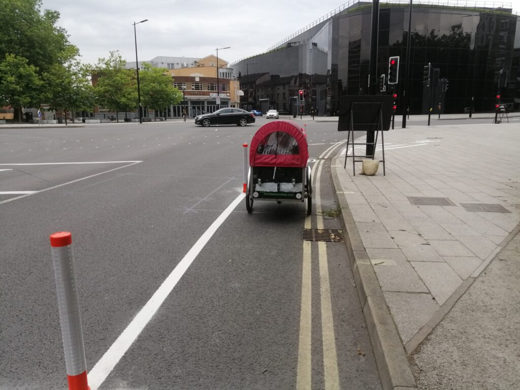
New cycle lane wands on the heading from Willis Building toward Railway station 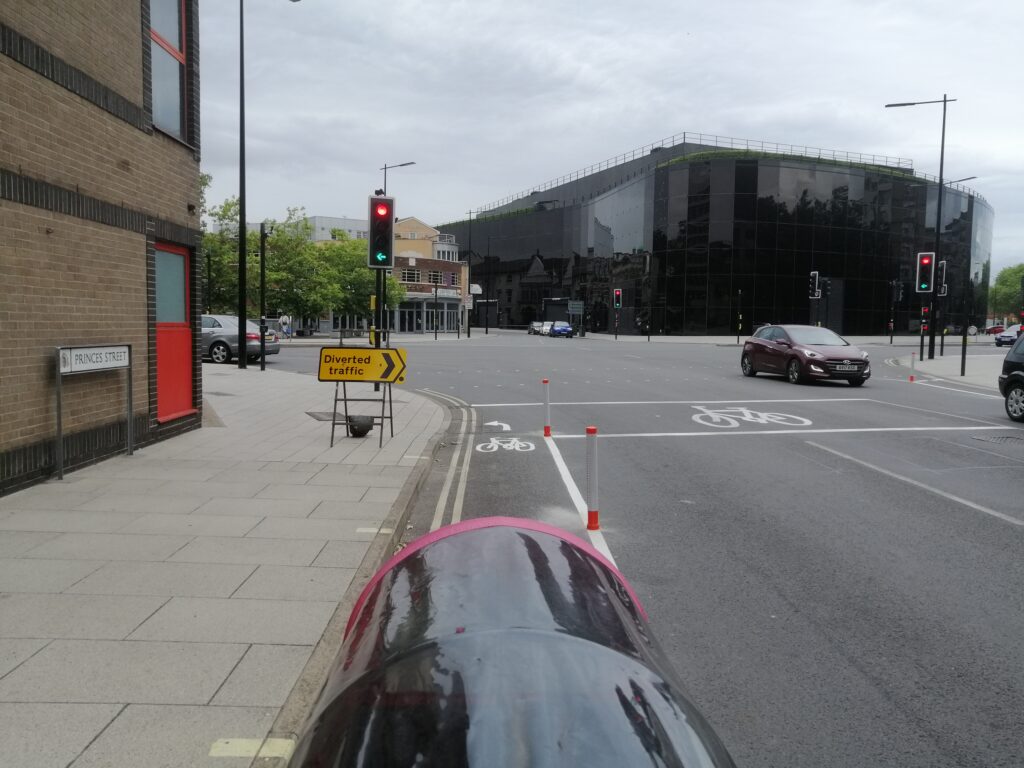
New cycle lane wands on Princes Street at junction near Willis Building 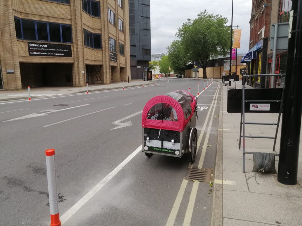
Cycle lane wands on Princes Street 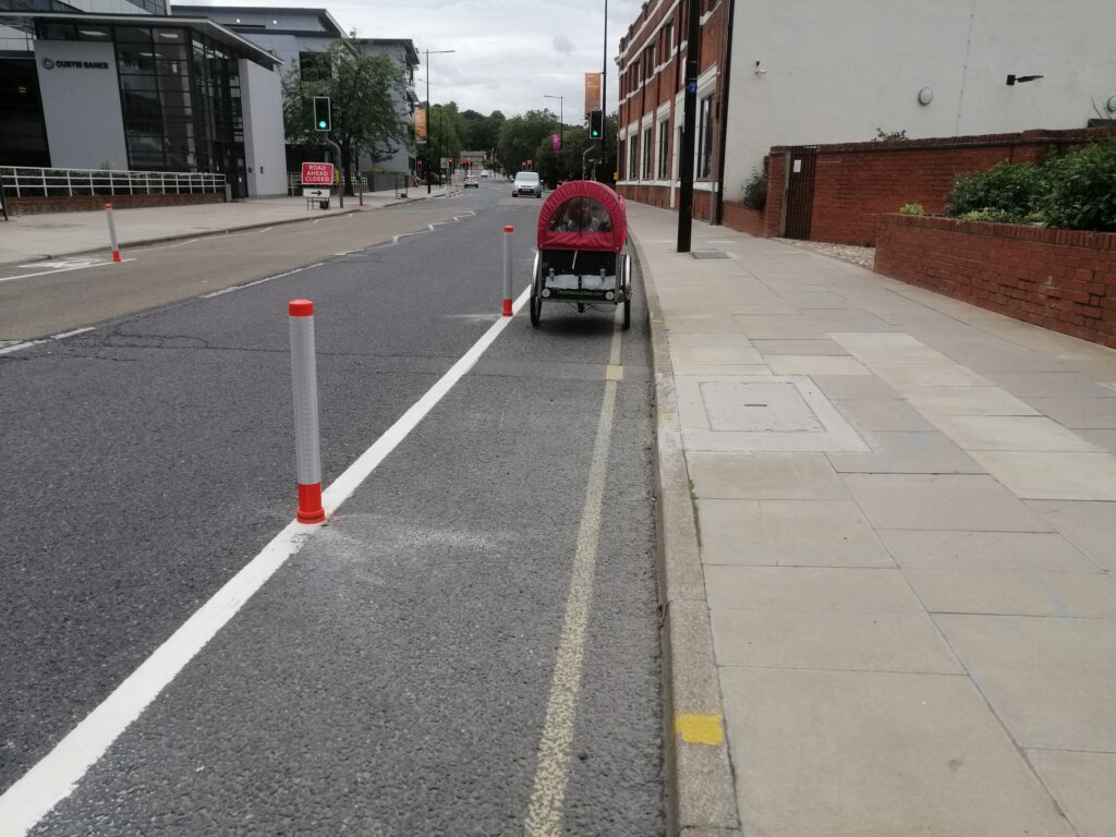
New cycle lain wands on Princes Street near the EADT offices
Portman Road has also had cycle lanes with wands added and parking removed.
Cycle Ipswich look forward to more of these wands being installed on other streets, particularly busier roads. These are an emergency measure as a stepping stone to more permanent kerb based protection in the longer term.
This new cycle infrastructure has been funded through a pot of money by central government to enable a step change in the walking and cycling infrastructure to prevent a grid lock by people shifting to private motor vehicles as we come out of the current pandemic. Suffolk’s bid was very strong, hence getting more than the indicative allocated funding.